
aGIS Curriculum
Teacher Materials:
Lesson Overviews
Each lesson in the teacher’s edition comes with a lesson overview page for instructors with boxes in the margins that provide quick reference to lesson goals. The overview describes in detail the skills taught in the lesson as well as additional information that may be necessary to complete the lesson. Lesson related links for further study are also supplied with each overview page.
Presentation Notes

Each student lesson comes with a PowerPoint presentation that provides an overview of the lesson including concepts, the skills covered, and the study area involved. The teacher’s manual is supplemented with detailed descriptions and commentary for each slide allowing a diverse range of instructors to lead classroom lecture.
Assessments
Lessons will conclude with a full page color layout of a successfully completed exercise. If questions are presented within a lesson, the teacher’s manual includes answers to those questions.
Overview
What is Geospatial Technology? Where are the jobs in Geospatial Technology? How much does a Geospatial Job Pay? How is Geospatial Technology used in various careers? Why is knowing about Geospatial Technology becoming so important? The aGIS Series is intended for audiences wanting to know more...
Students learn about Geospatial Technology over ten lessons designed to demonstrate key concepts, software capabilities, and future opportunities in the geospatial industry. These lessons contain overviews of career profiles, which provide examples of industries and individuals that use this technology. Each book allows students to gain hands on experience using ESRI's ArcGIS software (the industry leader in GIS technology) in eight lessons that explore agriculture, business, information technology, logistics, public safety, health science, tourism, and technology engineering.
Educators will find this course easy to implement in their classroom. It is modular in design and easy to use. Colleges use this book to supplement their existing courses like “Introduction to Computers”, “Integrating Science and Technology”, Environmental Education”, “Tools in Business” and many others. High Schools integrate this course into classes like “Project Lead the way”, “Career Exploration”, “CAD”, “Technology Education” and many other classes. A perfect fit for any STEM based initiative. The total time to learn this class can be from 6 to 18 hours.
Integrating into a Certification
A key component and benefit of any program of study is certification. And certification is the key to showing your students have retained and are ready to enter the workforce. We provide solutions that allow you to integrate our aGIS series into our comprehensive geospatial certifications, SPACE and STARS. Turn learn more about SPACE and STARS: Click Here!
Features in This Series
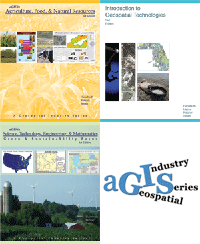
aGIS Titles
Click on a title to see more information. To review all available Digital Quest titles visit the "Book Viewer": Click Here!
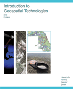
Introduction to |
aGIS in Agriculture, |
aGIS in STEM: |
Follow Us On:
 |
Share With Others:
|
Share With Others:


